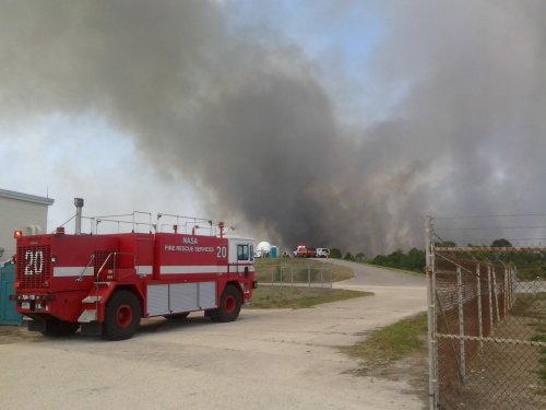
I just got an email that NASA personnel are being evacuated from a brush fire south of the VAB on Merritt Island.


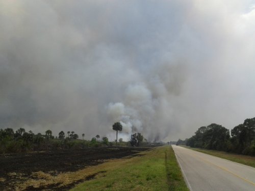
“Tel-4 road runs north/south for two miles then turns west for two miles until it hits the river. So if the fire jumps that E-W stretch of highway it is off KSC property and into civilian land. There’s a pretty respectable north wind today, so it’s a bit dicey until they get that back-burn done.
The second image is looking due south. So the VAB is to my back (to the north) about 6 miles. In that image, the land to the left is KSC property, the land on the right (about where the truck is down the road) is privately held.”